
The WFDP is located near Carson, WA in the Research Natural Area of the Gifford Pinchot National Forest, with the plot center at 45.82° N, 121.95° W. Elevation ranges from 352.4 m to 384.7 m for a vertical relief of 32.3 m (Fig. 1).
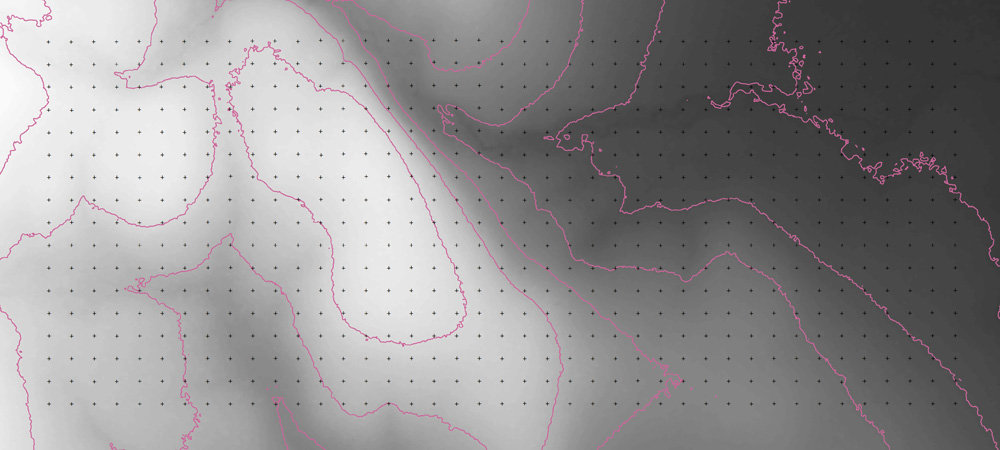 Figure 1. Topography of the Wind River Forest Dynamics Plot. The 20 m grid is shown on a LiDAR-derived digital elevation model of the plot (1 m horizontal resolution). The maximum elevation within the plot is 384.7 m; the minimum elevation is 352.4 m (5 m contours shown). LiDAR-derived bare-earth model courtesy of Watershed Sciences, Corvallis, Oregon.
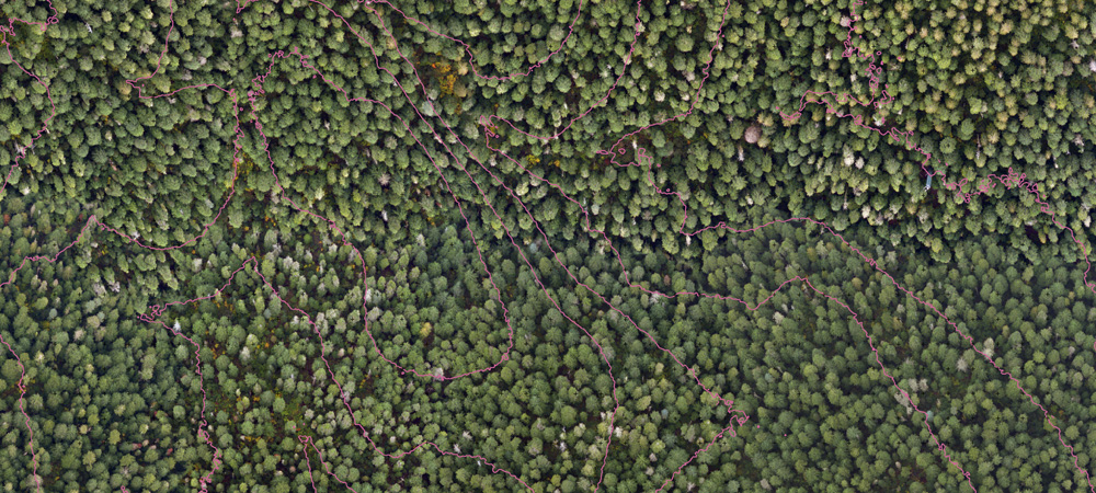 Figure 2. Orthophoto of the Wind River Forest Dynamics Plot. This 15 cm resolution orthophoto matches the spatial extent of the topography in Fig. 1 (5 m contours superimposed). Orthophoto courtesy of Watershed Sciences, Corvallis, Oregon. The NEON tower is visible in the upper right corner of the image.
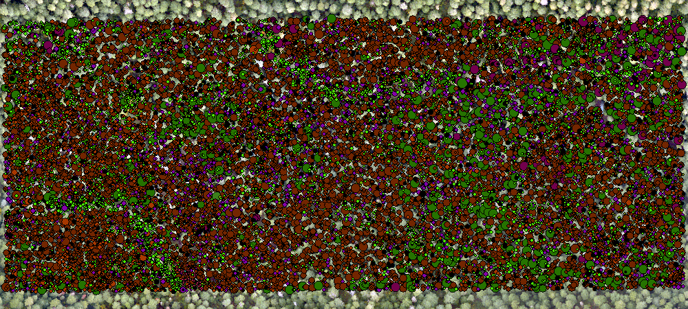
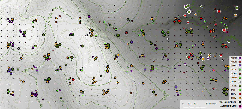
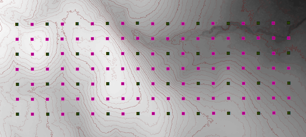
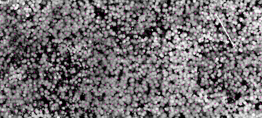
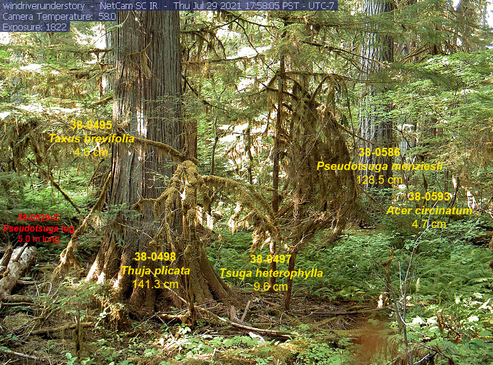
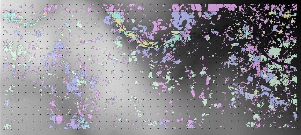 Figure 9. Patches of continuous shrub cover mapped throughout the WFDP. The shrubs and downed wood are important factors in tree demography.